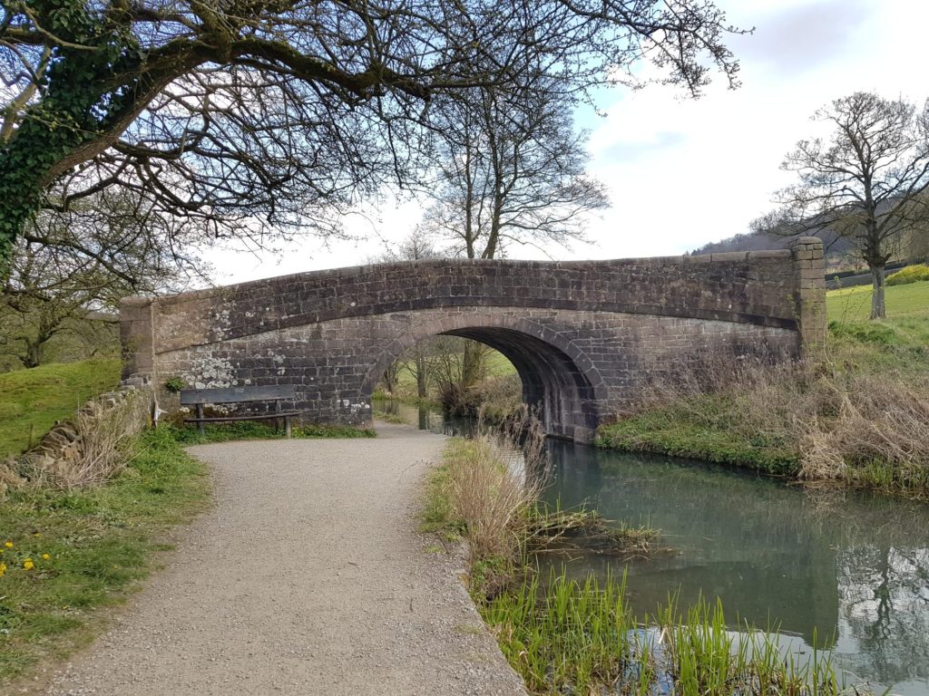
This weekend dog walk from Cromford Mill is one of our favourites.
It was back in June 2015 when Tilly, Mackie and I decided to do an experimental dog walk along Cromford Canal. The reason it was experimental was because dog walks became more tricky with two dogs! Particularly when one was only a puppy, albeit a big one at 12 months old.
The walk I’m about to describe is approximately 3 miles long and took me about one hour. It has a steep uphill section, but is a real mixture of canal paths, woodland and road walking. Hopefully a little bit of everything for everyone. There are also refreshment stops along the way too.
Details of the walk
1. Park at Cromford Wharf car park DE4 3RQ. It is a pay and display car park. (Currently £1.60 for two hours).
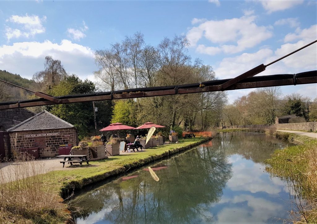
2. At the canal, turn left and walk down towards High Peak Junction. Many people walk their dogs along here, and many of them will be off lead. There are poop bins to be found at High Peak junction and I’m pretty sure I passed one at the start of the canal walk at Cromford Wharf. It’s approximately 1 mile to the High Peak Junction. There are refreshments served here if you wish.
3. Upon arriving at High Peak Junction, you need to turn right and cross the bridge (signposted Middleton Top). You should head behind the buildings, past a train carriage (on your left) and follow a path which is called the Sheep Pastures incline. You will walk through a short tunnel onto the trail. This is the long steep part of the walk. Dogs are fine to be off lead once you are on this path. The footpath that you are on, follows what was the Cromford and High Peak Railway. You will pass a “catch pit” which was designed to capture run away trains of which there were a few!
Roughly halfway…..
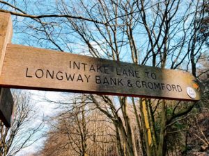
4. Continue walking up this hill and walk past the small brick building which will be on your right. It has a wooden sign next to it called The Dingle. Soon after, you will see a footpath sign on your right. This is where the High Peak Trail (which is what you are on) intersects with the Midshires Trail. You should bear left and walk up over the steep bank which is signposted to Intake Lane. You will notice that you are on what I can only describe as a bridge section. Once you turn left you will almost double back on yourself and effectively go underneath the High Peak Trail.
Follow the signpost to Cromford (turn left). You will walk underneath a small bridge (which goes under the High Peak Trail that you’ve just been on). Follow the track, again dogs are still OK off lead, but be aware that this track turns into a road very shortly.
5. Shortly after you walk under the bridge, you’ll come to a fork in the path. Take the right fork and continue following the track downhill. This path is marked by a yellow arrow which is part of the Derwent Valley walk.
6. The track peters out and becomes Intake Lane. Follow this lane downhill (ignoring all turnings) and eventually you will meet the A6, which is a very busy main road. Turn left along the A6 and walk up to the traffic light junction, be very careful of the traffic and keep your dogs on a short lead. (Note: To avoid walking along the A6 pavement, there is a gap in the wall opposite Intake Lane, when you meet the A6. You will see a small green footpath sign. This path will cut the corner where the road junction is, but it might be quite tricky to cross the road at this point, so please take care if doing so).
7. At the junction, turn right into Mill Road and walk back towards the Cromford Wharf car park.
Refreshments
You will find several refreshment places on the Dog walk.
There is often an ice cream van in the car park at Cromford wharf, but there are also some coffee stops too. One of which is the Counting house coffee stop.
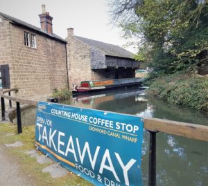
In addition you’ll find refreshments at the High Peak Junction which is 1 mile down the canal from the start of the walk.
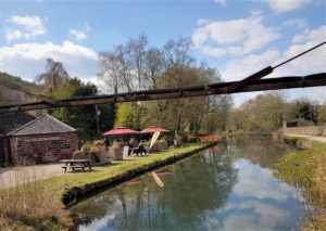
Finally, you could walk across to Arkwright’s Mill opposite the Cromford Wharf car park, and you will find a cafe, toilets and some small shops to have a browse around.
Map of the area
If you want to explore the surrounding area a little more, then the OS map OL24 is the correct Ordnance Survey map to use.
Please note there are some affiliate links on this page. You will not be charged when you click on them, but I may earn a small commission from them. This helps maintain this website.
For nearby pubs click here
You might also be interested in this post for dog friendly cafes.
We hope you enjoy your dog walk from Cromford Mill. You might also be interested in the Black Rock walks
